|
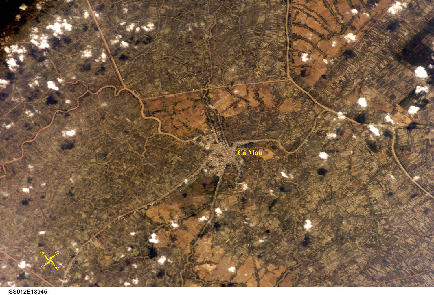
This photograph was taken on March 4, 2006 by astronauts
aboard the International Space Station while flying over the Ca
Mau peninsula on the southern tip of Viet Nam. The provincial capital
Ca Mau is located in the centre of the picture. The low-lying terrain
is drained by a myriad of canals and natural drainage ways. The
intense agricultural land use relies on rich alluvial soil that
was deposited over many centuries and millennia by the Mekong River.
Many of the rice fields around the city can be identified by their
rich brown colour; they are in the process of being replanted and
irrigated for a new crop. The white and black dots on the photograph
are clouds and associated shadows.
Source: http://eol.jsc.nasa.gov,
Image courtesy of the Image Science & Analysis Laboratory, NASA
Johnson Space Center. |